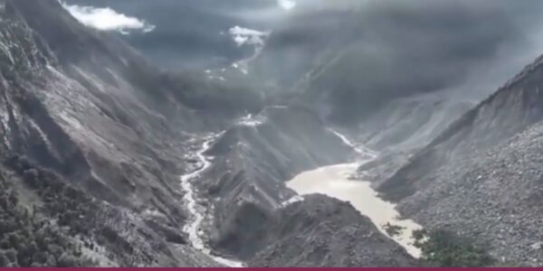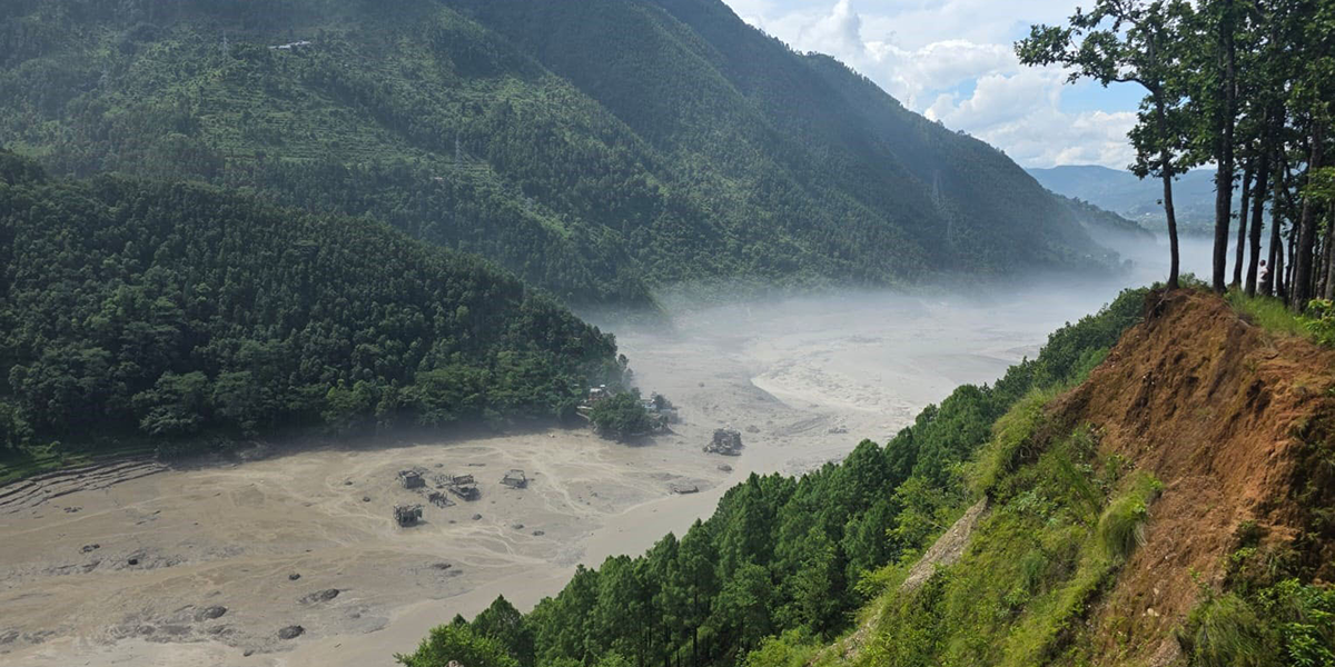

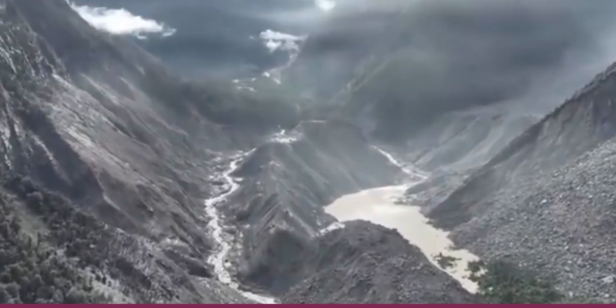
 Screenshot of a Xinhua video showing dammed area.
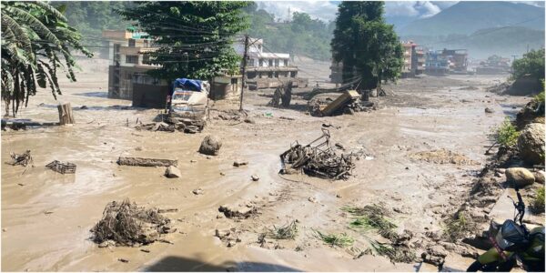
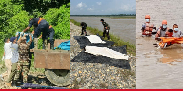
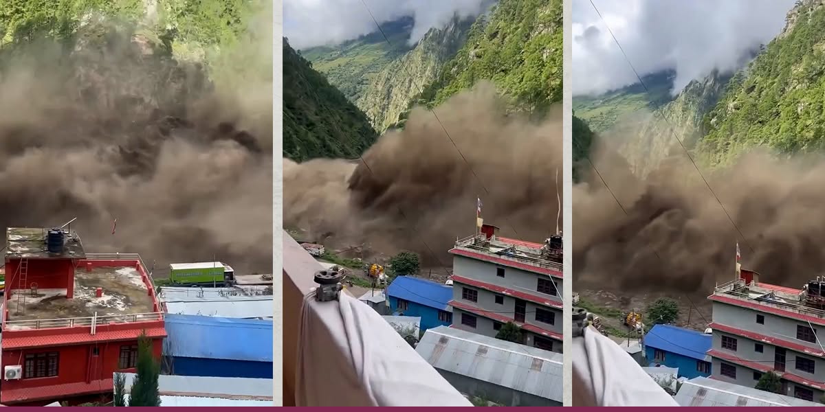
On August 26, a glacier collapsed in the Langtang region of Nepal near the China border, triggering an ice and rock avalanche. This apparently entered the Lhende Khola, a tributary of the Bhote Koshi river, where it either caused or contributed to a temporary blockage. When this burst, a catastrophic flash flood travelled almost 100 kilometres downstream.
A glacier collapses
There’s nothing to stop the avalanche down the Trishuli river valley
Did warm conditions play a role?
There is increasing interest in the role of unusually warm conditions and glacial permafrost instability. Warming can increase meltwater penetration into the crevasses of glaciers and weaken ice-rock bonds. British Antarctic Survey researchers reported unusually high ground temperatures two days before the collapse.
Satellite images stitched from Copernicus Sentinel-2 data
Video sources: Gyirong Port – AP News_; Boulder – ABC News; Fast moving water – @pujanpokhareofficial/Instagram
Levan Tielidze, Research Fellow in Glacial Geomorphology, Monash University and Digital Storytelling Team, The Conversation
This article is republished from The Conversation under a Creative Commons license. Read the original article.