 Himal Press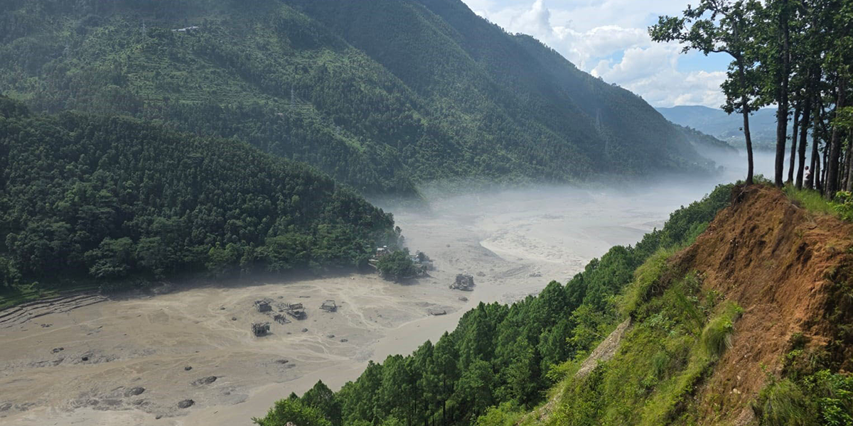
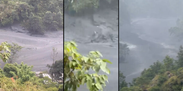
KATHMANDU: A study conducted by Kathmandu University (KU) and three other organizations has estimated that the August 26 flood may have mobilized more than 142 million cubic meters of ice, rock, sediment and debris.
The Bohtekoshi-Trishuli Catastrophic Flood Report prepared jointly by the KU, Youth Alliance for Environment; Himalayan Cryosphere, Climate and Disaster Research Center; and Society for Conservation Biology states that a large glacier–rock mass failure in the upper
Lhende Khola catchment.
“The failure likely generated a rapid ice–rock avalanche that entered the Lhende Khola, altered the river channel, and may have temporarily blocked and then released water, producing a high-energy debris-laden flood,” it said. “The sudden breach of this blockage released a wall of water that swept downstream through Timure, Rasuwagadhi, Syabrubesi and other settlements and continued into Nuwakot, Dhading, Gorkha, Chitwan, Tanahun and Nawalparasi districts.”
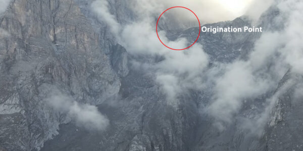
The study has confirmed, after analyzing satellite images, that the underlying cause of the massive flood was a huge ice avalanche from the
glacier on the Nepal side or the northern side of the Langtang-Lirung Himal. “The avalanche started falling down by 1400m (5200m-3800m) above sea level, bringing together the huge mass of ice with some snow and rocks within the route. This huge mass also entrained another large amount of ice, debris, and water from the lower ablation area of that glacier at 3800m and rapidly rushed toward the Lhende River at an elevation of about 2900m with a vertical drop of 1100 meters,” it added.
The study estimates that 120 cubic meters of ice, snow and rock fell through a vertical distance of 1,100 meters and eroded the ablation area of the debris-covered glacier in the lower part. “We have estimated that about 67 million cubic meters of ice under the debris from the area mixed in the Lhende River,” the report states.
According to the study, the huge devastation downstream is mainly due to huge amounts of snow, ice, and rock, along with some water, brought down from around 5200 meters along the steep gradient, striking the lower ablation area of the debris-covered part at around 3,800 m and finally reaching the Lhende River at around 2,900 meters. “Although there is no clear indication that the Lhende River was blocked, it must have been blocked by snow, ice, water, and debris for a few minutes before flowing downstream at high speed,” it added.
The HEC-RAS analysis with 120.96 million cubic meters of water shows that the maximum velocity was 15 m/s from the Lhende River, where snow, ice, water and debris struck the river to about 15 km downstream, maximum depth of 15 meters, and maximum discharge of 23,000 m³/s at Syafrubesi.